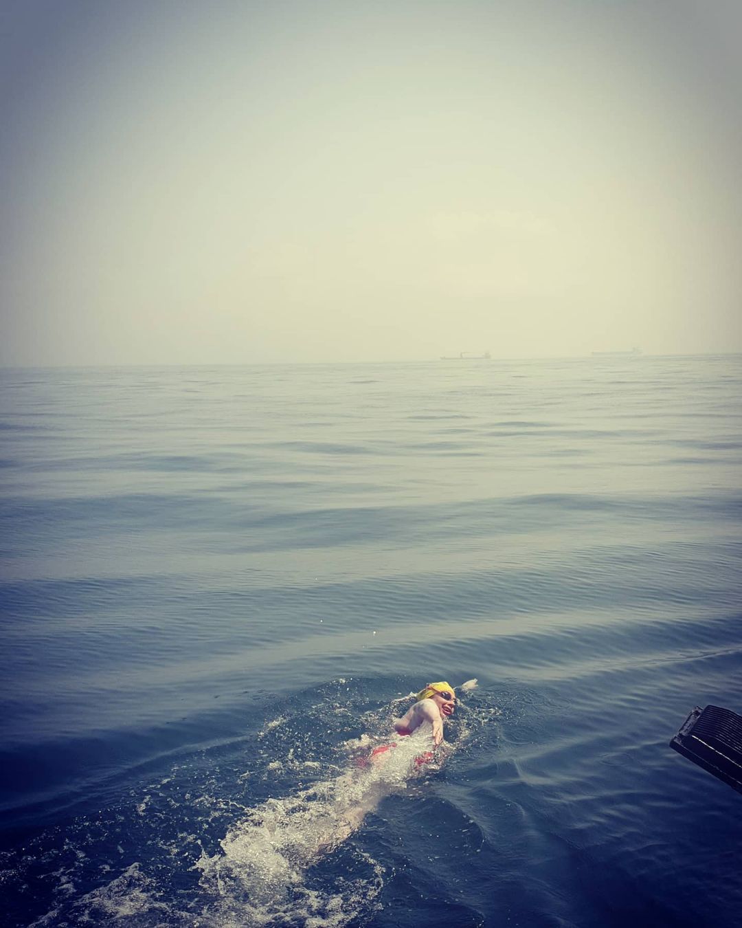
Shortest distance is 21 statute miles, or 18.25 nautical miles (your pilot will use the latter and will want to estimate your speed in knots, i.e. nautical miles per hour); however, on either side of Cap Gris Nez, the French Coastline drops away, so, if you do not reach land at the Cap you have further to go to make landfall. This is particularly the case to the west and south of Cap Gris Nez, so your pilot should aim to avoid letting you get swept in that direction by a SW-going tide. Your pilot will plan a consistent compass heading for the most part of your swim, so that through the water your track will be a straight line, even though the tide will sweep you from side to side over the ground as it ebbs and flows. This will keep your total distance as close to 21 miles as possible, and avoid you wasting energy by swimming against the tide, especially as at times the tidal rate will exceed the speed you could swim at. However, in the last mile or so it may be necessary to swim somewhat against the tide to ensure you reach a suitable landing point: your pilot will need to adapt your course if your pace slows – the stronger the tide, the bigger the course alteration needed
Click here to view the original source.

